Introduction
Residents in New Jersey are under an urgent tornado warning for Sussex County today as a line of powerful, fast-moving storms crosses the region. The National Weather Service (NWS) issued the alert following radar-indicated rotation detected within the severe cell, prompting immediate safety concerns for those in the path of the storm. In situations like this, every second counts. This article provides the latest details on the alert, explains what the warning entails, and outlines the critical steps you must take right now to ensure your safety as meteorologists continue to monitor the situation.
What Happened
The tornado warning for Sussex County was triggered by atmospheric instability that developed rapidly across the northern part of the state. Meteorologists at the National Weather Service identified a signature of rotation on radar that suggested a funnel cloud could potentially reach the ground. These warnings are only issued when a tornado is imminent or already occurring, signaling a high level of danger. The severe weather system is currently pushing through the local area, bringing with it the threat of damaging winds, large hail, and localized flooding in addition to the tornadic risk.
What’s Happening Now/Next
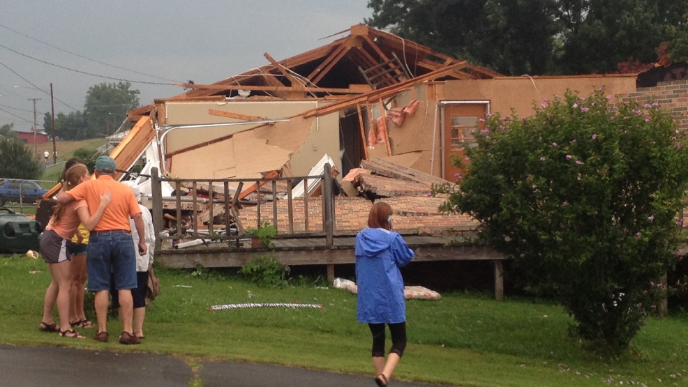
Local authorities and emergency management agencies are actively tracking the storm’s trajectory across Sussex County. While the warning remains in effect, residents are being urged to stay off the roads and move to the safest location within their homes. NWS officials will continue to provide updates as the storm cell shifts. Once the alert expires, the focus will likely shift to assessing potential property damage and clearing any debris from local roadways. Residents are encouraged to monitor local news stations and mobile emergency alerts for the most current information regarding the expiration or extension of the warning.
What This Means For You
The issuance of a tornado warning for Sussex County means that a threat to life and property is immediate. For those in the path of the storm, this is not a drill. High winds can turn everyday objects into lethal projectiles, and structural damage to homes is possible. You should avoid being near windows and should be prepared for potential power outages if the severe weather impacts local infrastructure. Being prepared for the next few hours is essential for your safety and the safety of your family.
What You Can Do Now
If you are currently under a tornado warning for Sussex County, please follow these safety steps immediately:
- Go to the lowest level of your home, such as a basement or storm cellar.
- If you do not have a basement, move to an interior room on the lowest floor, such as a closet or bathroom, away from windows and exterior walls.
- Avoid mobile homes, vehicles, and temporary structures.
- Cover your head and neck with blankets or a mattress to protect yourself from flying debris.
- Stay tuned to a battery-operated weather radio or reliable news source for the official ‘all clear’ notice.
Closing
The weather situation in Sussex County remains fluid and dangerous. We will continue to update this article as the National Weather Service releases more data. Please stay vigilant, keep your devices charged, and prioritize your safety above all else. Check back frequently for the latest developments regarding the impact of today’s severe storms.